November 14-15th 2019, Geo-info successfully completed the delivery of its first high-end UAV Lidar system GL-70A in Thailand. The technical team from Geo-info conducted on site training to the customer and provided technical support to their first project in the suburb of Bangkok after training.
Even though it was November, Bangkok was still hot. Over 35°C high temperature and 90% of humidity was a challenge but also a good showcase for this high-end UAV Lidar system. The goal of this virgin project was to fly 36 square km with 10 pts/m2 laser data and image data, accuracy requirement was 1:1000. With the guidance and support from Geo-info team, calibration flight was done on the 14th and two missions were accomplished on the 15th. Both missions were flown at 400 m above ground at 15m/s speed. The first mission was 44 minutes, acquired data of 12 km2 area. The second mission was 90 minutes, and a total area of 24km2 was covered. Data preprocessing was done within 30 minutes after completion of each mission. RGB attributed laser data was produced during preprocessing. Accuracy check after postprocessing in the next day was carried out and project was accepted with satisfaction.
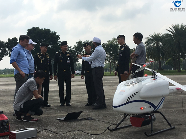
prepare for flying
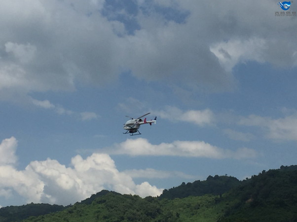
data acquisition
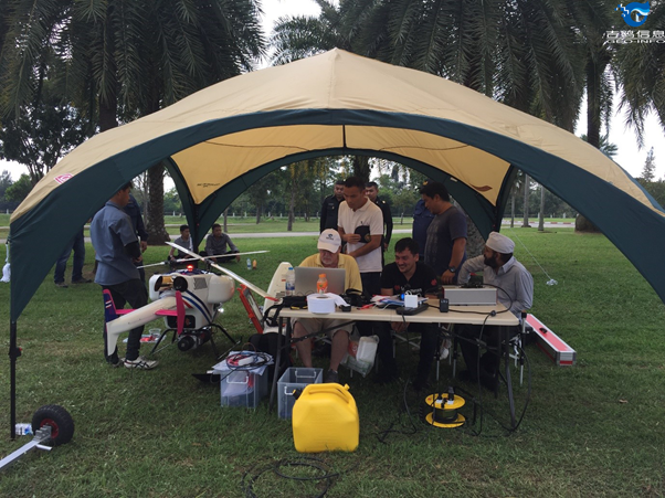
data processing
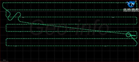
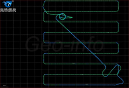
trajectory
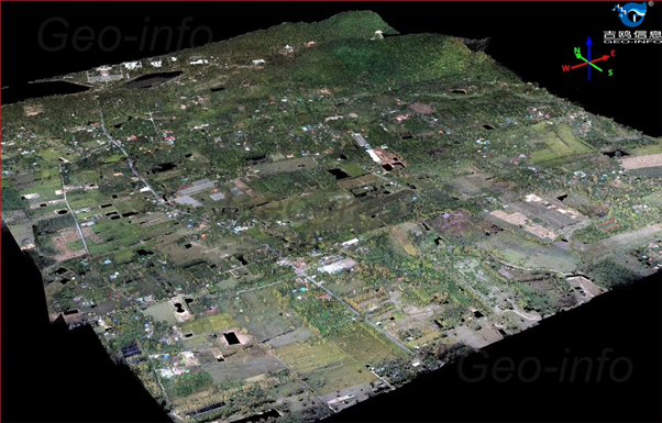
RGB attributed laser point cloud
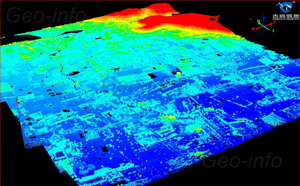
laser point cloud with elevation
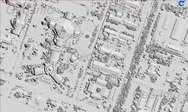
shaded relief
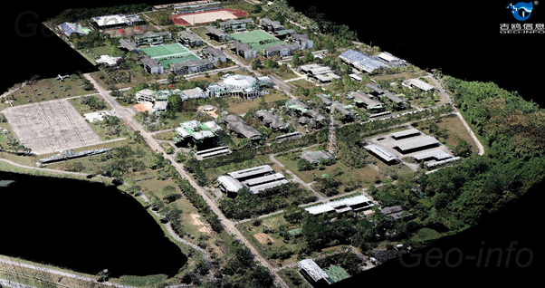
RGB attributed laser point cloud

