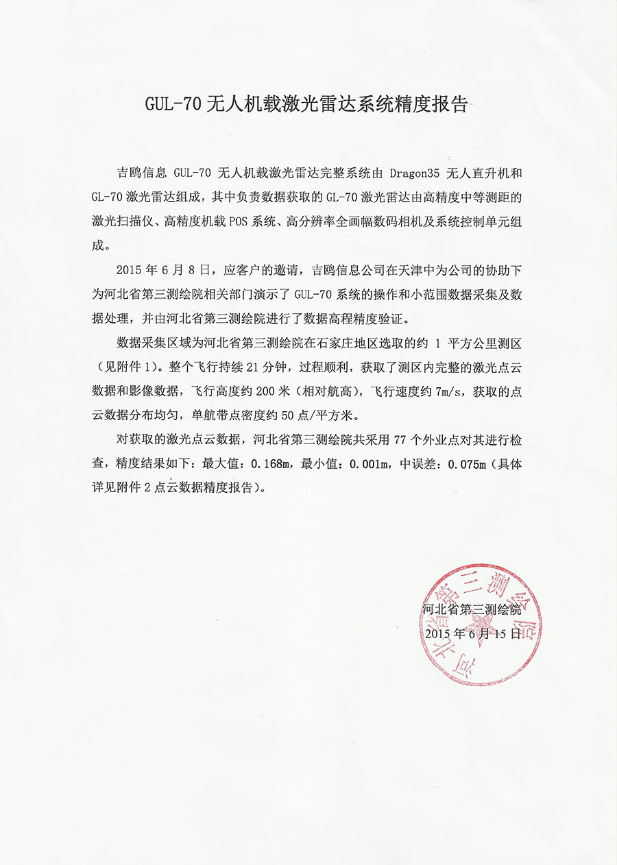
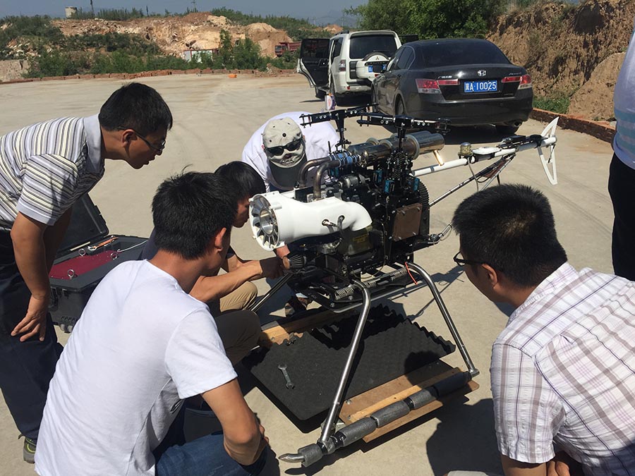
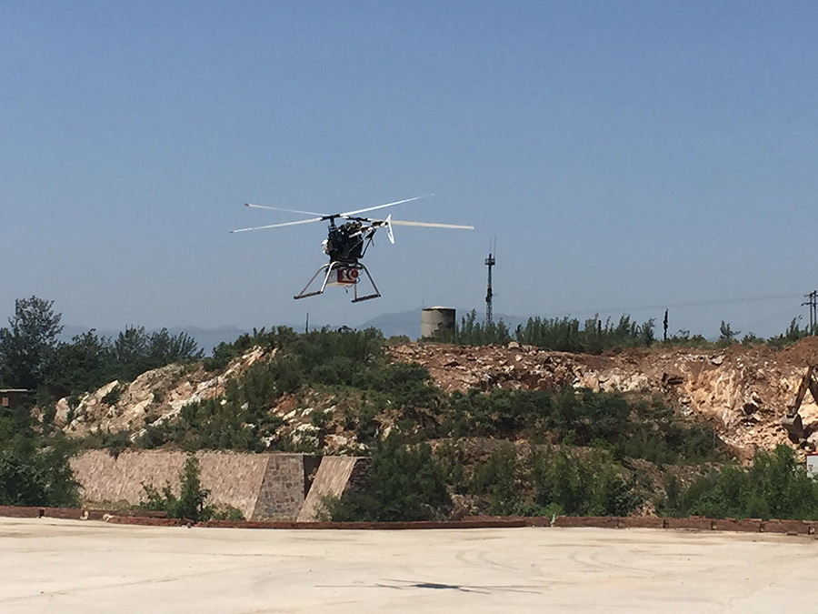
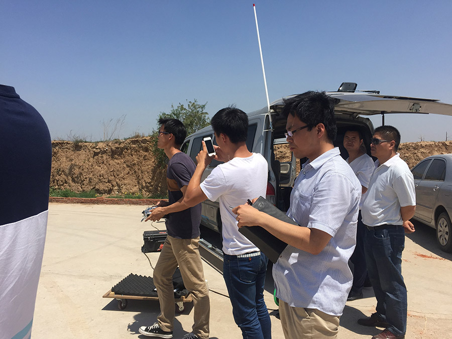
June 8th, 2015, invited by Hebei No. 3 Provincial Surveying & Mapping Institute, the S&M unit of the Hebei provincial S&M Bureau, Geo-info Tech crew went to Shijiazhuang, capital city of Hebei province, to perform a demo flight of GUL-70. We post-processed the data right after the mission, and submitted the data for the S&M Institute for an accuracy evaluation.
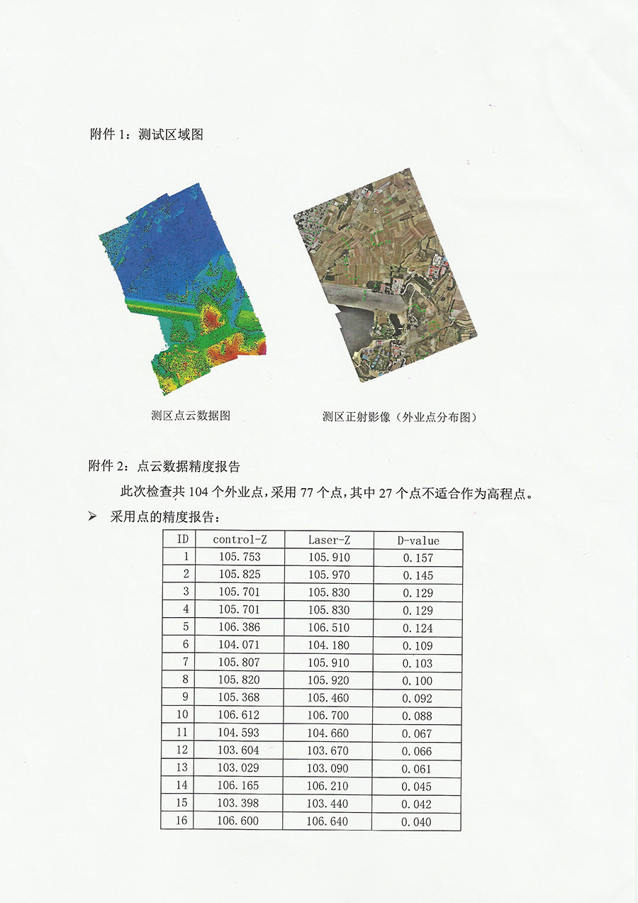
We flew a 1km² area selected by the customer. Data acquisition was successful and conducted nearby Shijiazhuang. Total flight time was about 21 minutes. We acquired complete laser data and image data of the selected area. Flight height was 200 meters, with a speed of 7m/s, point density is about 50 pts/m².
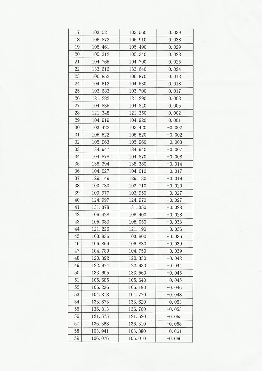
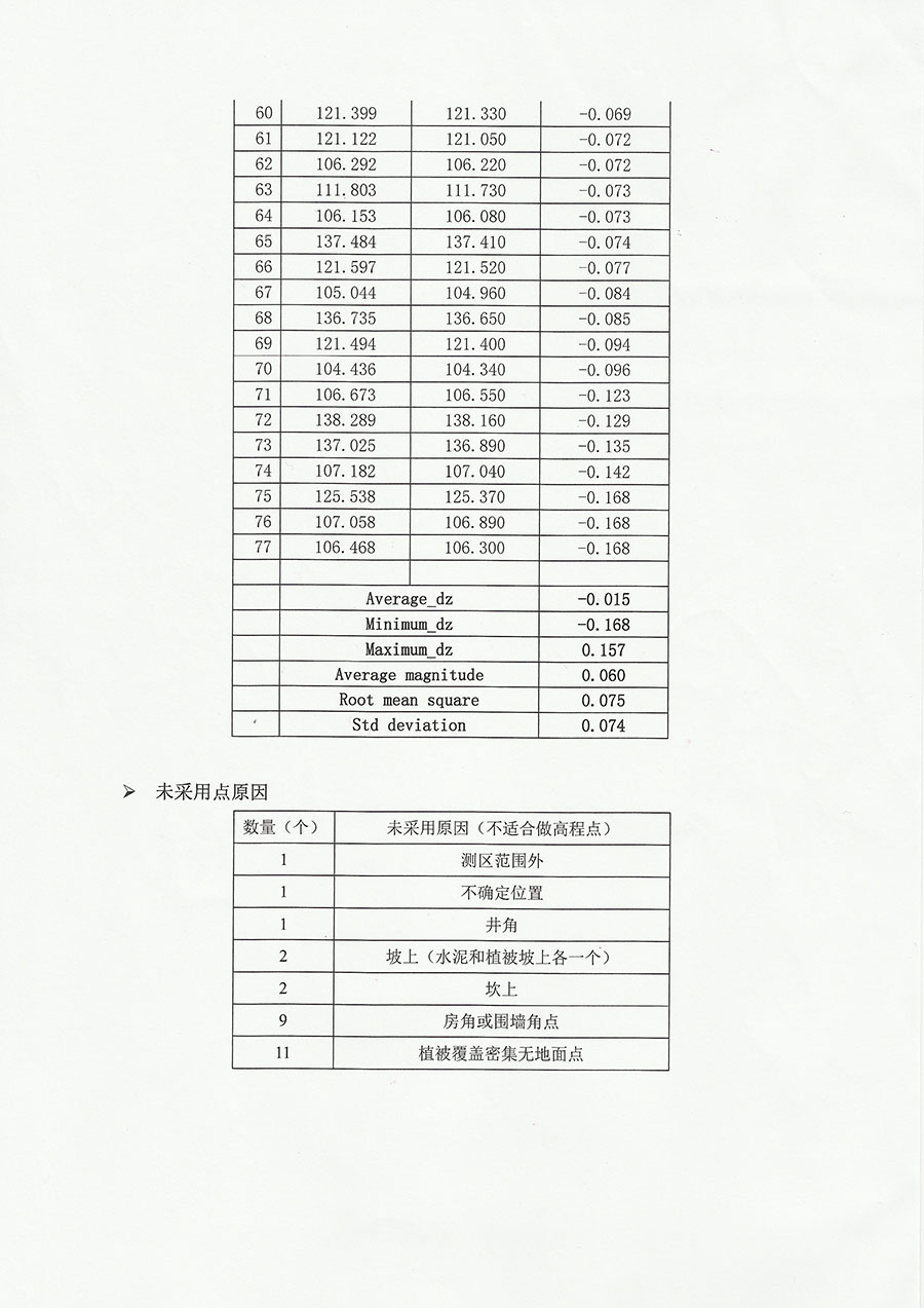
Hebei Provincial Surveying and Mapping Institute used 77 surveyed points to check against the laser points from GUL-70, and the elevation accuracy report is: Max value is 0.168m, Min value is 0.001m, and the RMS is 0.075m. (see the detailed report in the attachment).
Hebei Surveying and Mapping Bureau speaks highly of our GUL-70, the UAV Lidar provided by our company.
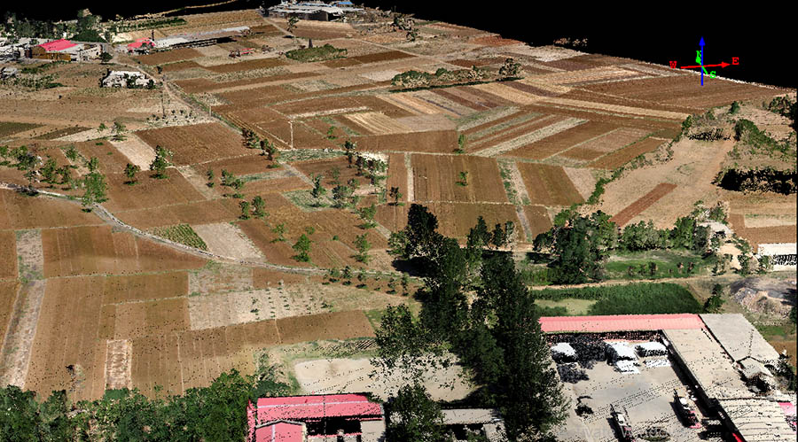
RGB Color point cloud sample
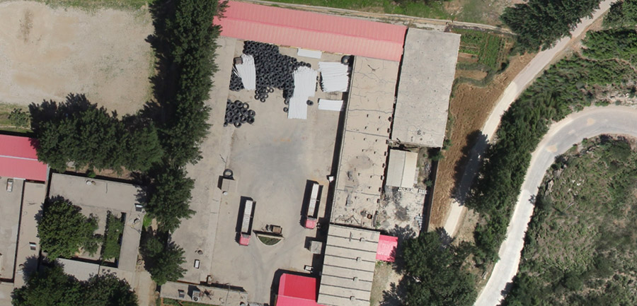
DOM
Report: Surveying and Mapping Bureau of Hebei Province for our equipment issued a "precision test report."
