October 9 to the end of the month, 2015, we were invited to use GL-70, our compact Lidar system integrated with a VUX-1 scanner and a 50mp camera, to assist a river area mapping project in Heilongjiang, the most Northeast province in China. The project is more than 2000 squ. km total, with 1:2000 specs, which is 1.5 pts per sq m and imagery at 20cm, accuracy to be about 50cm rms for laser data and 1.2m rms for orthophotos.
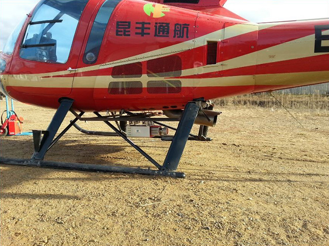
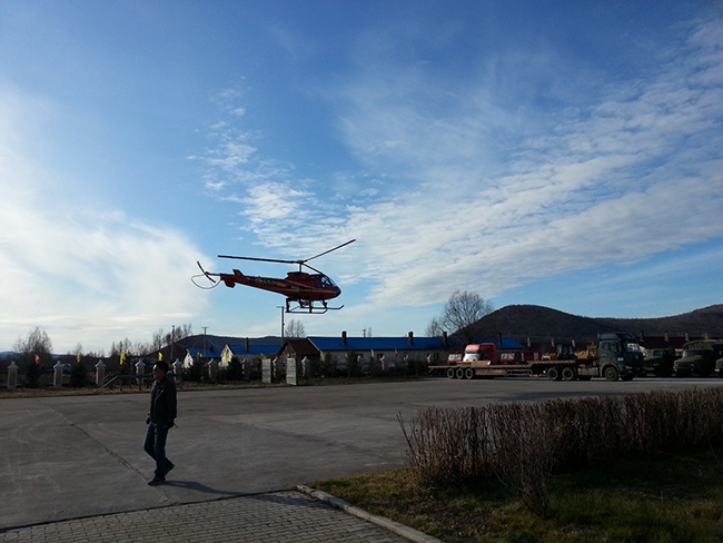
Due to short delivery time (before it gets cold), in addition to another Lidar system based on a VZ-1000 scanner, a technical team from Geo-info was sent to help acquire data, using GL-70 on a manned helicopter. We put GL-70 on an Enstrom 480B, a turbine engine manned helicopter, to start from north end of the project. To our surprise, GL-70 completed more than 1600 sq km of lidar data at 1.5 pts /m and 15cm imagery for orthos. The crew traveled more than 2700km by car in the project area in 27 days, including 8 days for bad weather. That is, GL-70 finished about 80% of the project area. The efficiency and the stability of GL-70 exceeded our expectation and customer was very happy with the result.
Technical details:
Enstrom 480B helicopter flew at 150km per hour at 500m above terrain (2 pilots and 2 seats only … no room for Lidar operator)
Flight times were up to about 2 hours and they collected about 125 sq km per flight (about 60 sq km per hour)
Due to the cold ( -15C at night ) we had to uninstall GL-70 at the end of every day and reinstall in the morning
We set GL-70 200khz & 51hz scan rate …. Laser set to 120 deg FOV, flight lines were spaced at 700m apart
System operated autonomously with a laptop for pilot review (no Lidar operator)
Conclusion:
GL-70 expands from high accuracy high point density corridor mapping Lidar system to area mapping system for 1:2000 scale.
GL-70 is more efficient than other Lidar system when flying the same height, due to its wide FOV.
GL-70 is small and light, suitable for either UAV or manned helicopter flying platform.
GL-70 acquires data intelligently and it’s easy to operate. In this project, we did not have an operator on the helicopter, the pilot was monitoring the system running during flight.
GL-70 data pre-processing is simple. Even personnel with little Lidar experience can follow the steps to check data coverage quickly.
GL-70 has a good configuration to provide high efficiency. Scanner is 330° FOV and camera is 90° FOV. Therefore, when we flew at 500 meters high, the swath was 700 meter with 30% overlap.
GL-70’s stability contributes greatly to the efficiency of the project.
GL-70 was proven to be a light intelligent Lidar system suitable for area mapping on multiple flying platforms.
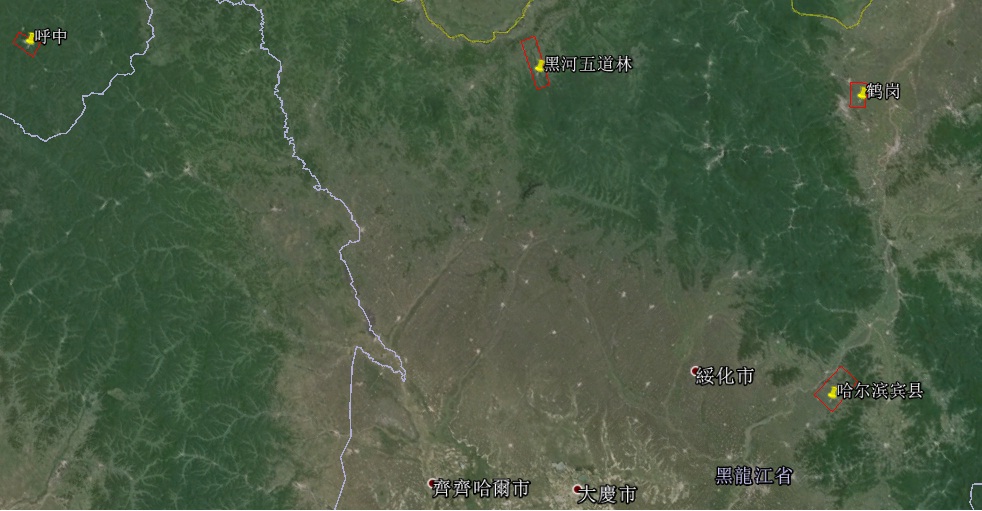
Schematic Survey Area
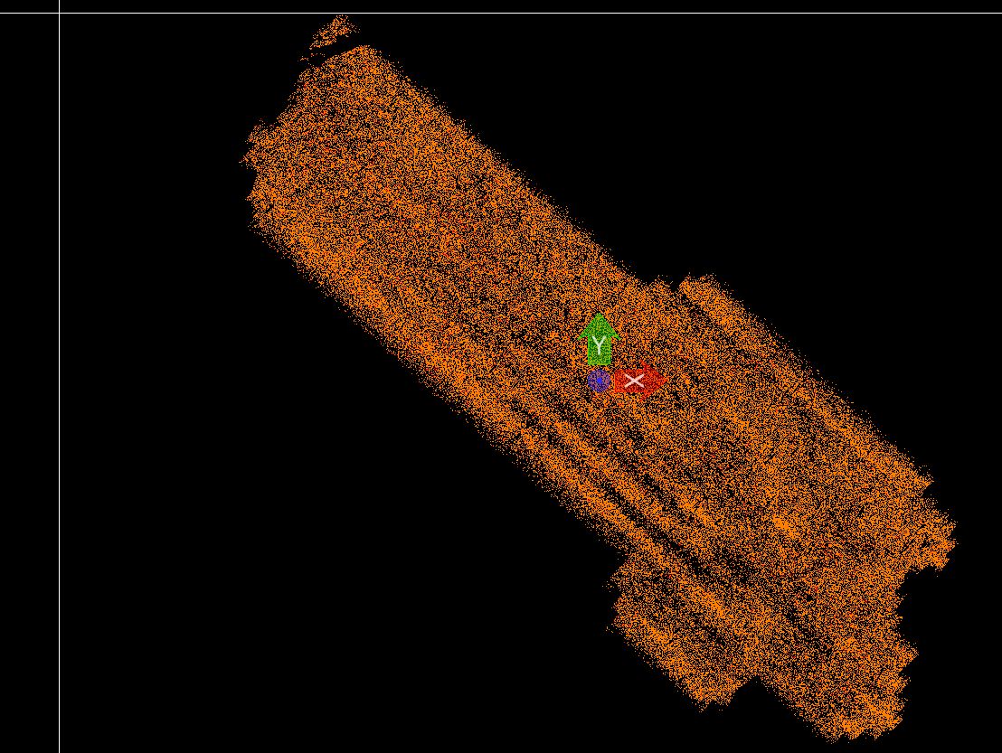
Harbin Bin County -LAS
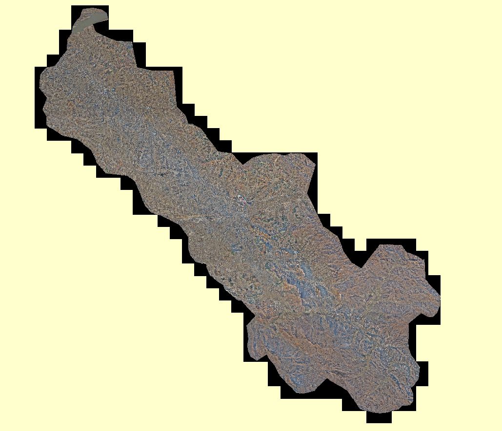
Harbin Bin County–DOM
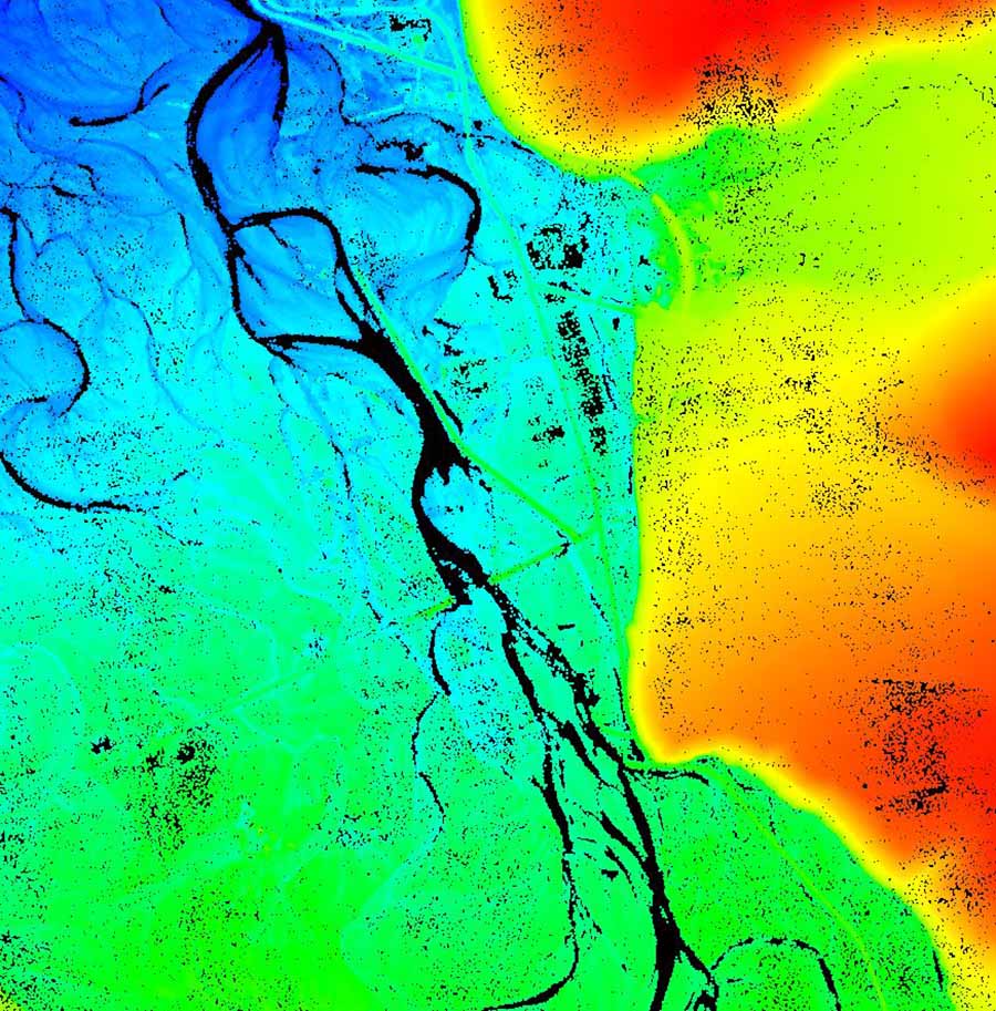
A river–LAS
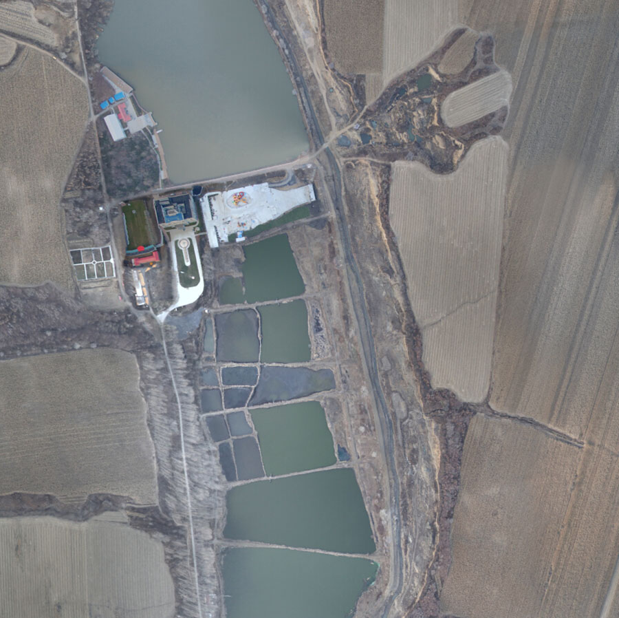
A river–DOM

