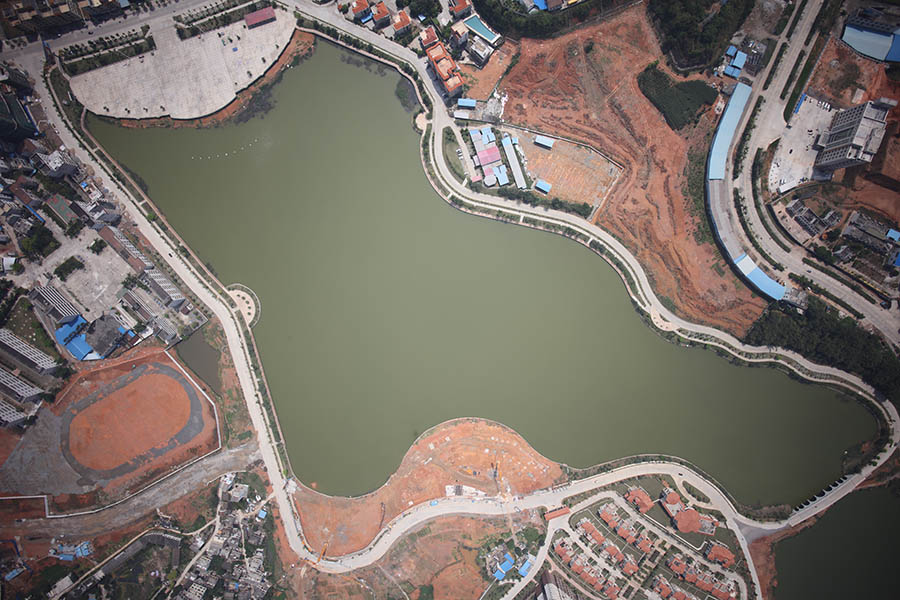
26th March, 2016, at customer’s request, GL-70A Lidar system had its virgin mission on Bell 407 manned helicopter mapping a river area in Guangxi province.
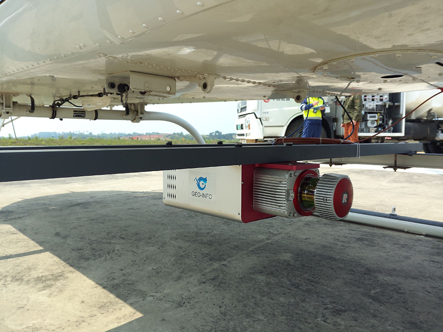
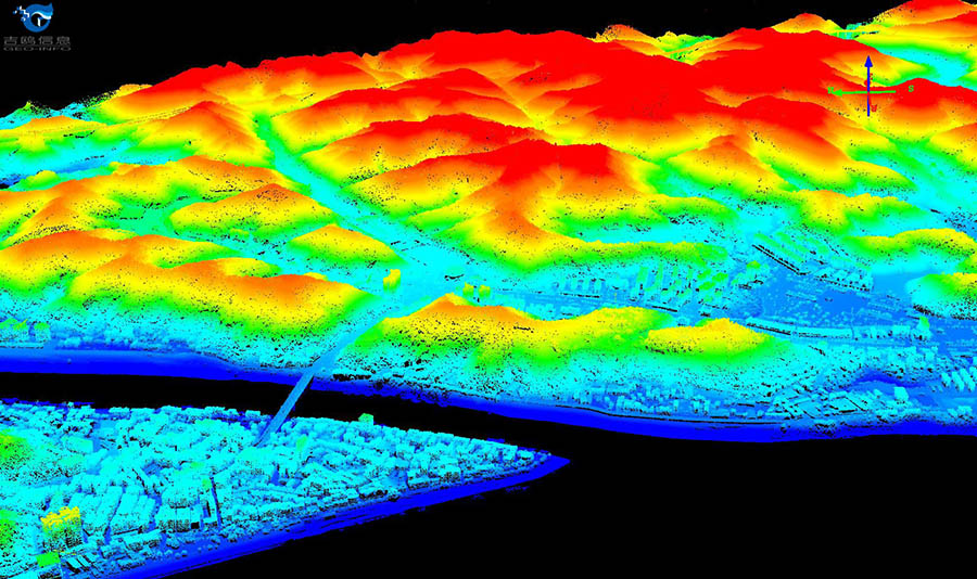
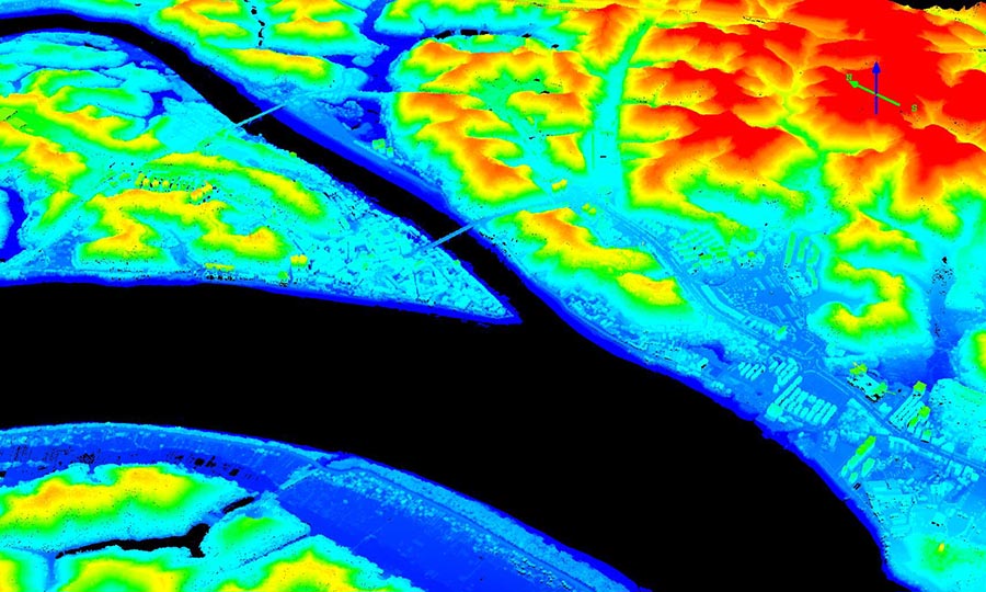
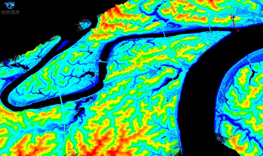
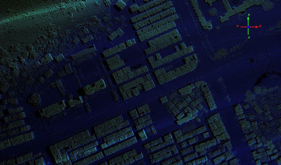
The design of GL-70A is similar to GL-70, light weight and easy to mount. We spent only one hour to mount it on Bell 407 after arriving at project site with our system. Data acquisition started afterwards. Flight height was 500 meters AGL and flying speed was 150km/h. Data pre-processing was done right after the acquisition and result showed laser data was excellent, with 1.5pts/m2, and raw image resolution was 0.11 m.
GL-70A was proven a good match to river area mapping and other area mapping. It integrated Riegl VUX-1LR scanner and a better IMU/GPS than GL-70. Detail information of the product can be found on the product page of our website.
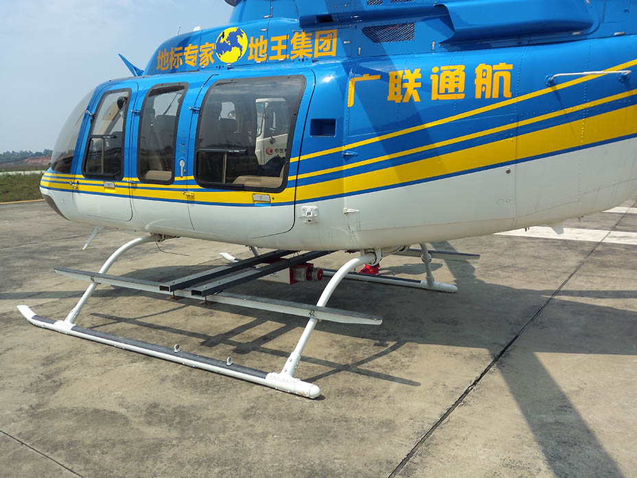
GL-70A with Bell 407
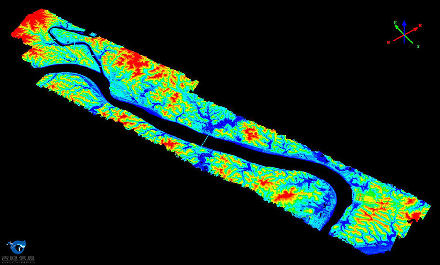
Point Cloud
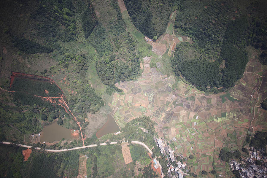
Image
